October 7, 2026
When Heremaia Titoko, Western Port Ramsar Site Coordinator at Melbourne Water (the Catchment Management Authority), first became involved with a Climate Systems Hub project on sea level rise and future storm tide changes, she wasn’t entirely sure what the outcomes would mean for her work. Fast forward several months, and the research has become a tool she’s using almost daily to support planning conversations, prioritise future projects and build a stronger evidence base for climate adaptation decisions.
Working alongside Climate Systems Hub knowledge brokers Helen Bloustein and Ramona Dalla Pozza, and CSIRO researcher Dr Julian O’Grady, Heremaia and her colleagues explored how future storm tides could affect the internationally significant Western Port Ramsar wetlands in Victoria. They used an interactive mapping tool prototype developed as part of the Hub’s Communicating Coastal Floods research that visualises historical and future storm tide inundation, helping decision makers understand where and how climate impacts may unfold over coming decades and how this compares to the past 30 years.
For Heremaia, one of the most valuable aspects of the collaboration was the way the knowledge brokers helped bridge the gap between complex science and practical decision-making.
“At the start, I didn’t have a full understanding of what the research would entail or how it would fit into my role,” she said. “But the team were really open to questions and discussions. They helped me understand where the research would be applicable and how we could involve the partners already working within the Ramsar Site Management coordinating team.”
The project has already prompted new conversations within Melbourne Water. Traditionally, much of the organisation’s climate and flood modelling has focused on protecting built infrastructure and residential assets. The storm tide mapping highlighted the need to consider natural assets, such as wetlands and saltmarshes, through the same planning lens.
“One of the things that became obvious is that we had a lot of information about infrastructure, but much less about what climate change means for ecological assets,” Heremaia said. “This project has helped enable some of that thinking and get different teams talking about how their work connects.”
The mapping is also influencing how Melbourne Water thinks about future investment and project priorities, especially in its role as the responsible Catchment Management Authority and Ramsar site manager. Understanding where climate impacts are most likely to occur helps ensure resources are directed where they can have the greatest long-term benefit.
“There’s no point investing heavily in restoration works in an area that’s likely to be regularly inundated in the future,” Heremaia explained. “The mapping helps us think about where funding should go and where future projects are likely to have the biggest impact.”
Importantly, the project has also strengthened collaboration beyond Melbourne Water. The Hub’s co-design research approach has meant that showcasing the mapping tool and the underpinning research through targeted knowledge exchange sessions has been particularly beneficial. A session held earlier in 2026 brought together councils, Parks Victoria, the Western Port Biosphere Reserve Foundation, Bird Life Australia and other land managers. to discuss shared climate risks, particularly from more frequent and intense storm events and sea level rise, and future adaptation options,. It has also sparked new conversations with the Victorian Department of Energy, Environment and Climate Action (DEECA), which is exploring how the information could inform its own investigations.
For Heremaia, one of the most powerful moments came during a field visit to the Site where workshop participants could compare the model outputs at real-world locations.
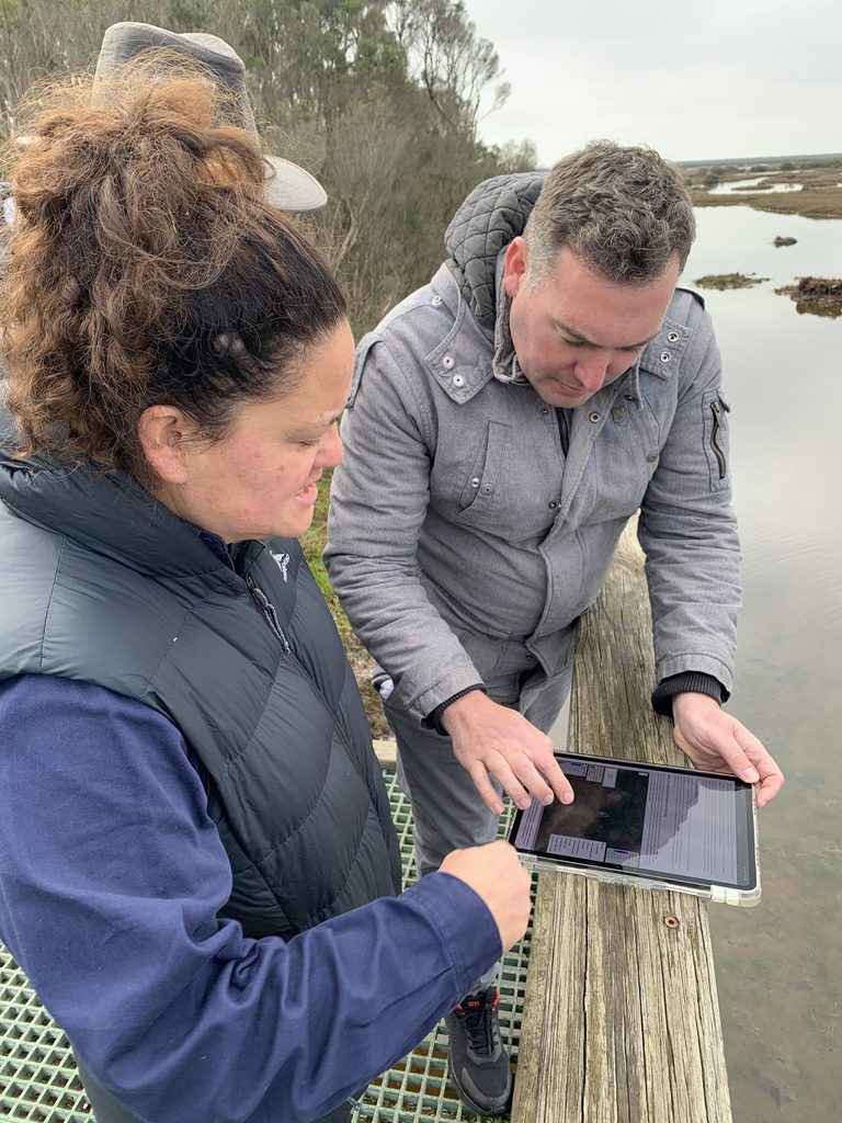
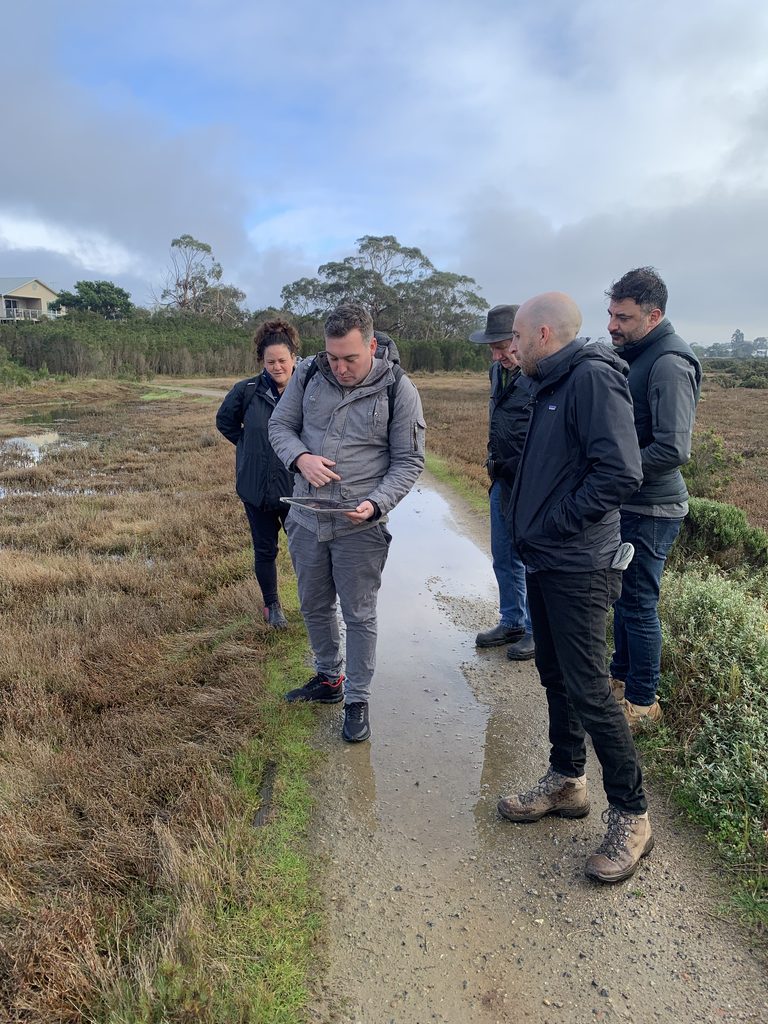
“When you’re standing out there looking at the landscape and you pull up the modelling, it really brings it to life,” she said. “It helps people understand the scale of what’s coming and starts conversations about what we need to do now.”
Those conversations include planning for saltmarsh migration, identifying land suitable for future habitat expansion, and considering how land managers and private landholders may need to adapt over time. The mapping has even provided reassurance that recent land acquisitions intended to support saltmarsh migration are in the right locations.
Perhaps most importantly, the project has shifted climate change from being perceived as a distant issue to something requiring action today.
“When you look at impacts over the next 30 years, that’s not very far away,” Heremaia said. “It makes climate change feel immediate. The mapping doesn’t leave you with a sense of helplessness. It shows you there are things you can do now, even if that’s starting conversations and planning for the long term.”
For the Climate Systems Hub, that outcome reflects exactly what knowledge brokering and co-design is designed to achieve: ensuring climate science is not only understood but actively used.
“The modelling has become an evidence base that we can use when we’re making decisions or seeking support for projects,” Heremaia said. “It’s helping us focus on the issues that matter and understand the full value of the natural assets we’re responsible for managing.”
As the tool continues to evolve and new questions emerge, the collaboration is far from finished. But for Melbourne Water, the project has already demonstrated how translating climate science into practical, accessible information can help organisations move from understanding future risks to planning for them.
Find out more about the Hub’s communicating coastal floods research >